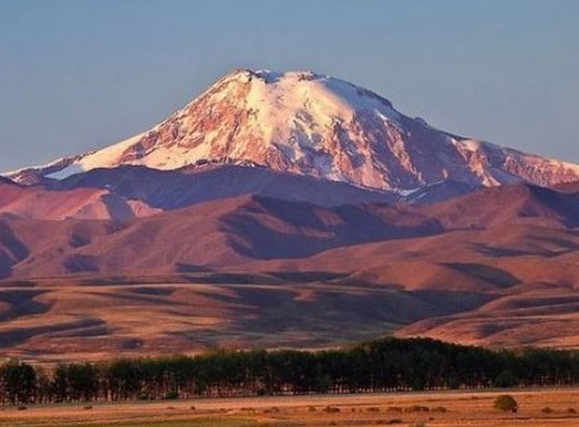
Journey into the realm of the top ten highest volcanoes in the world, where nature’s most formidable creations stretch toward the heavens, dominating the Earth with their sheer scale and grandeur. These towering giants, scattered across continents, rise to dizzying elevations, some piercing through clouds in arid deserts, others standing sentinel over lush valleys or icy plains. The highest volcanoes on this planet are not just mountains, they are living legends, shaped by fiery eruptions and time worn resilience.
Each one in this top ten lineup boasts distinct features, from vast craters that whisper tales of ancient fury to serene snow capped peaks that beckon climbers and dreamers alike.
Imagine standing at the base of these colossal wonders, gazing up at slopes that have weathered centuries, their heights a testament to the raw power beneath the Earth’s crust. Whether nestled in remote corners or celebrated as regional icons, these top ten highest volcanoes captivate with their beauty and mystery. Perfect for explorers, geology buffs, or anyone fascinated by nature’s extremes, this guide unveils the world’s tallest volcanic marvels, offering a front row seat to landscapes that inspire awe and ignite the imagination with every towering inch.
The Top Ten Highest Volcanoes In The World
10. Ata Volcano
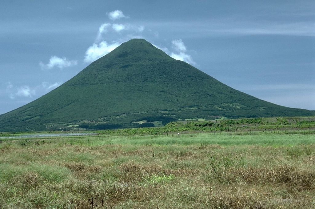
Location: Situated on the border between Argentina (Province of Catamarca) and Chile (Region of Atacama).
Elevation: 6,501 meters, as confirmed by multiple sources.
Type: Stratovolcano, part of a small volcanic chain near Laguna Verde.
Status: Likely dormant or extinct, with no recent recorded eruptions, though specific historical activity is less documented.
First Ascent: Recorded in 1955 by the Tucumana Association of Andinism, who named it after their association.
Notable Features: Its proximity to Ojos del Salado, about 15 kilometers away, and its dominance in the intermediate depression.
Cultural and Scientific Interest: Less studied compared to others, but its high elevation makes it a potential subject for mountaineering and geological research.
9. Nevado Sajama
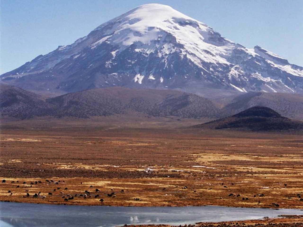
Location: In the Sajama Province, Oruro Department, Bolivia, 18.6 km from the Chile border.
Elevation: 6,542 meters, with earlier estimates at 6,572 meters.
Type: Extinct composite volcano with a stratovolcano atop lava domes, possibly active in the Pleistocene or Holocene.
Last Eruption: Not precisely dated, but geological evidence suggests ancient activity.
Significance: The highest peak in Bolivia, located within Sajama National Park, created in 1939 to protect Polylepis tarapacana woodlands.
Climate and Ecology: Annual mean temperature at Cosapa is 7.3 °C, at Sajama village 4.3 °C, with precipitation at 327 mm annually. It hosts the highest treeline at 5,200 meters, featuring dry puna grassland and fauna like vicuñas and mice up to 5,221 meters.
Cultural Importance: Sacred in Aymara myths, featured on the 50-boliviano banknote launched in October 2018, and site of a football match at the summit in August 2001.
Glaciers and Rivers: Extensively glaciated above 5,600 meters, with ice cores taken in 1997, and rivers like Tomarapi and Sajama originating from its flanks.
8. Tupungato
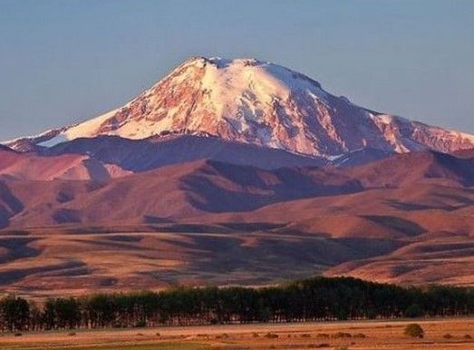
Location: On the Argentina–Chile border, Mendoza Province (Argentina) and Metropolitan Region (Chile).
Elevation: 6,570 meters, though recent mapping suggests 6,635 meters, with an incorrect historical claim of 6,800 meters.
Type: Lava dome, part of the Andean volcanic arc.
Last Eruption: Approximately 0.8 million years ago, Pleistocene age.
First Ascent: 1897 by Matthias Zurbriggen and Stuart Vines, noted for its climbing history.
Notable Events: Associated with the 1947 Star Dust plane crash, wreckage re-emerged in 2000, and located 100 km south of Aconcagua, near Tupungatito volcano, last erupted in 1987.
Tourism: Named after the Tupungato Department, a wine-producing region in Mendoza, and accessible for mountaineering, with routes detailed in peak lists.
7. Incahuasi
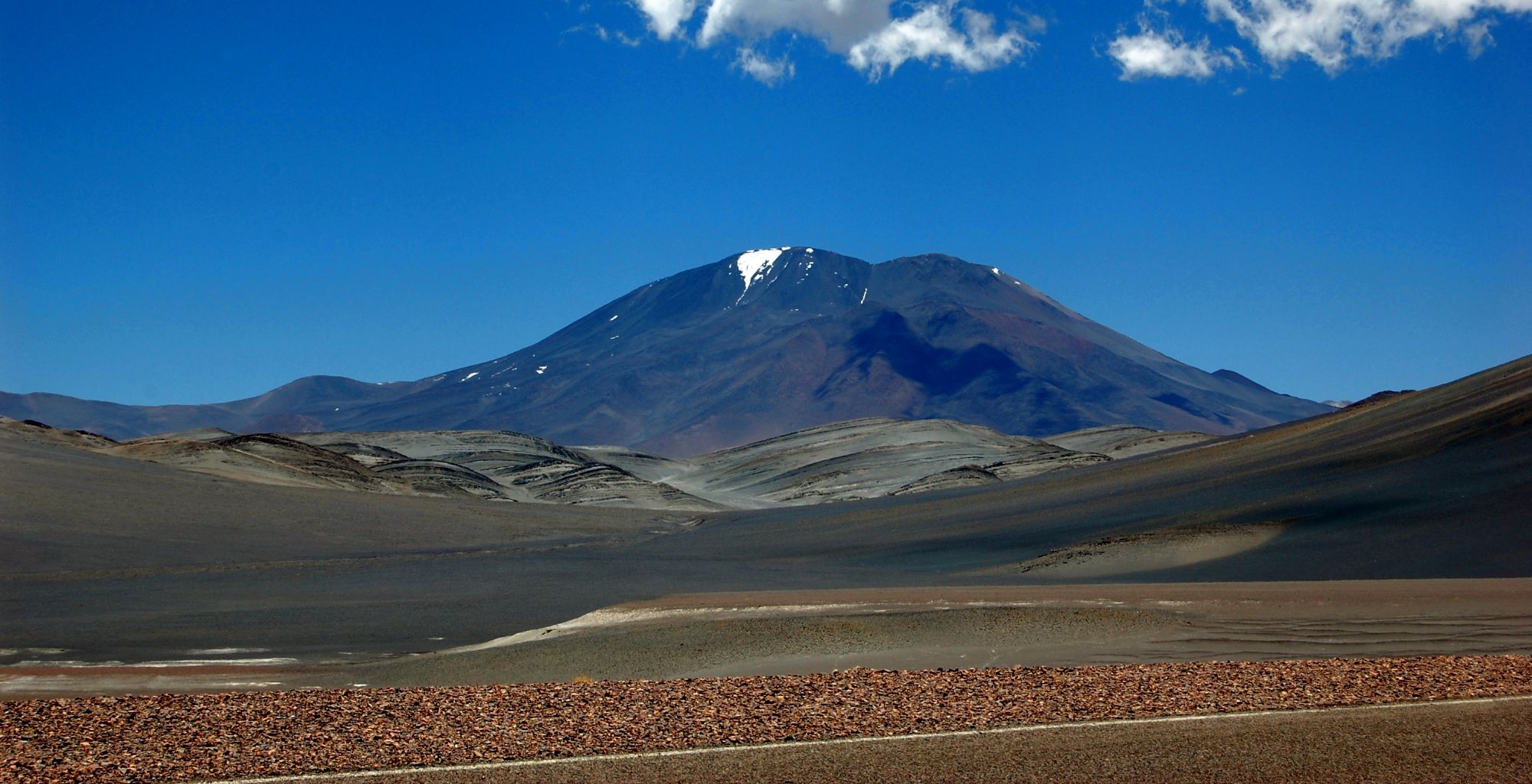
Location: Border between Argentina and Chile, part of the Andean volcanic belt.
Elevation: 6,621 meters.
Type: Volcano, with limited detailed classification available.
Last Eruption: During the Pleistocene, indicating ancient activity.
Notable Features: Remote location, high elevation, and part of the volcanic landscape of the Andes, though specific ecological or cultural details are sparse.
6. Nevado Tres Cruces Central
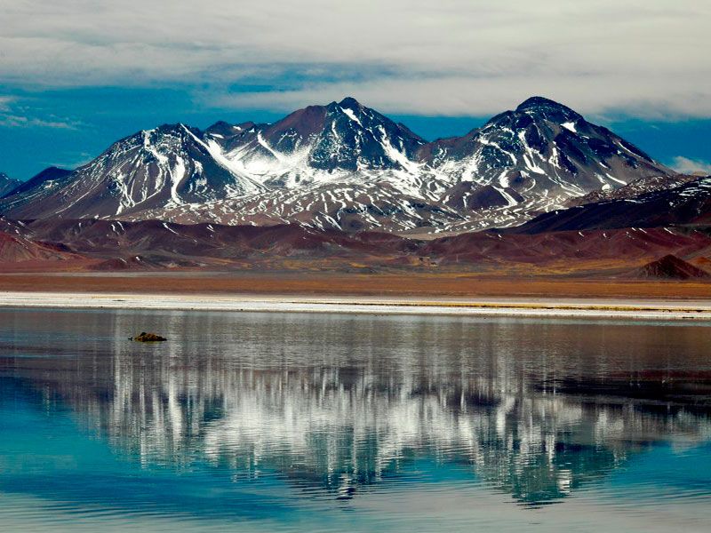
Location: Border between Argentina (Catamarca Province) and Chile (Atacama Region), within the Andes.
Elevation: 6,629 meters, part of the Nevado Tres Cruces complex.
Type: Volcanic complex, with rhyodacitic composition.
Last Eruption: Approximately 28,000 ± 22,000 years ago, with activity dating back at least 1.5 million years.
Significance: Part of Nevado Tres Cruces National Park, created in 1994, and includes multiple summits like Tres Cruces Sur (6,748 m) and Norte (6,030 m).
Climate and Ecology: Hyperarid, with strong winds and intense insolation, sparse vegetation, and wetlands associated with Rio Lamas.
Human History: First climbed on February 24, 1937, by Stefan Osiecki and Witold Paryski, part of the Second Polish Andean Expedition.
5. Tipas
Location: Northwestern Argentina, Catamarca Province, Tinogasta Department, at the Puna de Atacama.
Elevation: 6,660 meters.
Type: Complex volcano, consisting of stratovolcanoes, lava domes, and lava flows, covering 25 square kilometers.
Last Known Activity: Holocene, with reports of fumarolic activity and crater lakes with sulfur smell in 2013.
Significance: Considered the third highest active volcano in the world, though little studied due to its isolated location, with youthful morphology suggesting recent activity.
Geological Context: Magma composition typical for Andean stratovolcanoes, with activity from 2.9 to 1.2 million years ago, including dacites and rhyolites.
4. Llullaillaco
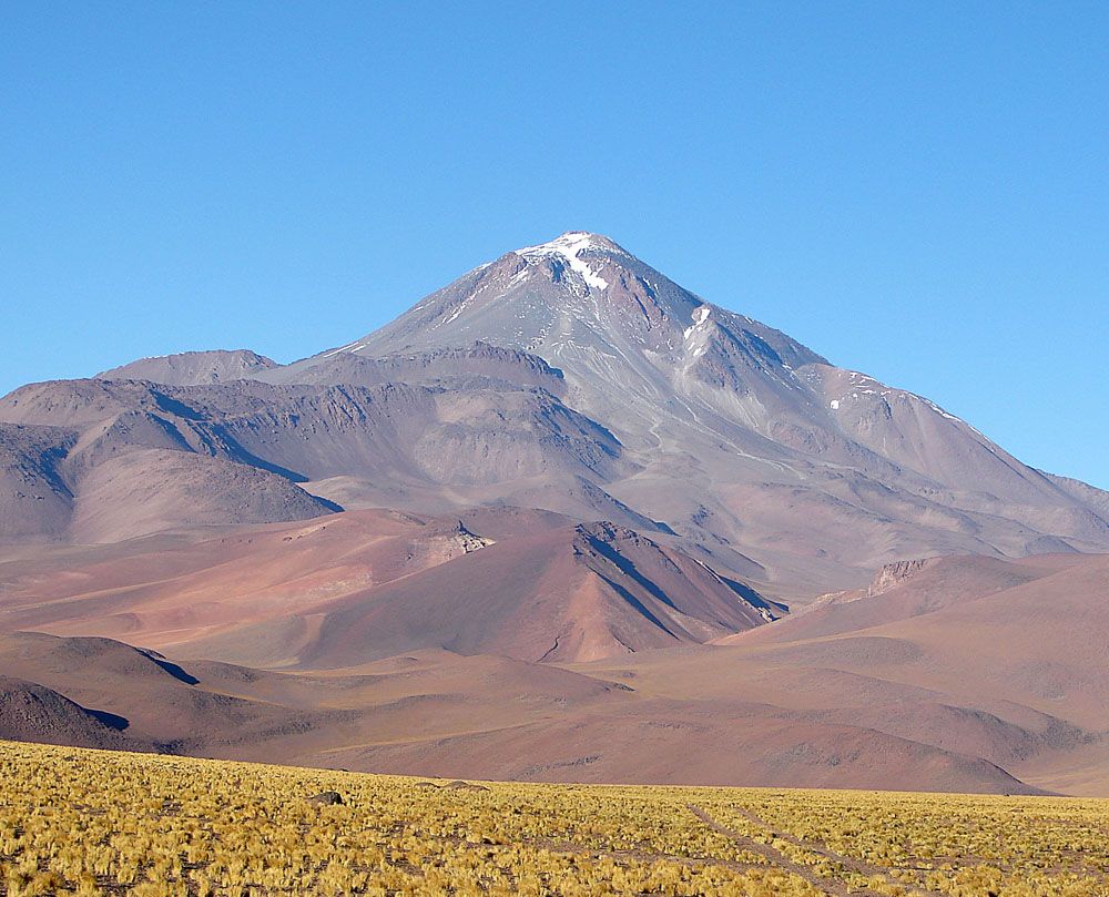
Location: Border between Argentina (Salta Province) and Chile (Antofagasta Region), in the Puna de Atacama.
Elevation: Variously reported as 6,723 meters or 6,739 meters.
Type: Dormant stratovolcano, with rocks dating from 1.5 million years to 930 ± 140 years old.
Last Eruption: May 1877, making it historically active.
Cultural Significance: Hosts the highest archaeological site, with mummified remains of three Inca children found in 1999, part of Llullaillaco National Park, created in 1995, and declared a UNESCO World Heritage Site on June 24, 2014.
Climate and Ecology: Cold, dry, with summit temperatures between -15 °C and -13 °C, mean annual precipitation 20–50 mm, and sparse vegetation above 3,700–3,800 meters, highest-living vertebrate is the Punta de Vacas leaf-eared mouse.
Human Interactions: Weather station installed in 2004, highest in the world at the time, and nearby abandoned mines like Azufrera Esperanto and active lithium plant “Proyecto Mariana” at Salar de Llullaillaco.
3. Nevado Tres Cruces
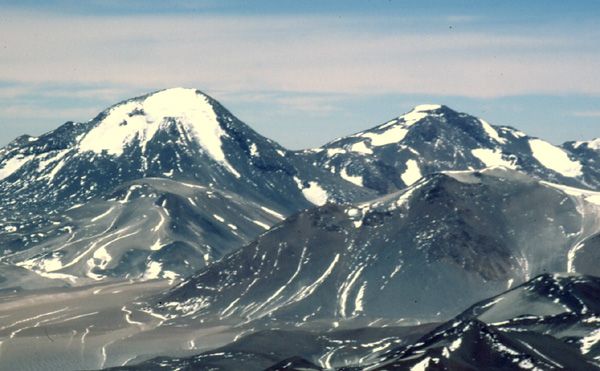
Location: Andes, border of Argentina and Chile.
Elevation: Highest summit, Tres Cruces Sur, at 6,748 meters, sixth highest in the Andes.
Type: Volcanic complex, with rhyodacitic, potassium-rich calc-alkaline suite, rocks from dacite to rhyodacite.
Last Eruption: 28,000 ± 22,000 years ago, with activity pre-dating 1.5 million years, potassium-argon dating at 3.4 ± 0.5 and 4.9 ± 0.4 million years ago.
Significance: Part of Nevado Tres Cruces National Park, first climbed in 1937, and covers about 1,000 square kilometers, with multiple summits including Centro (6,629 m) and Norte (6,030 m).
2. Monte Pissis
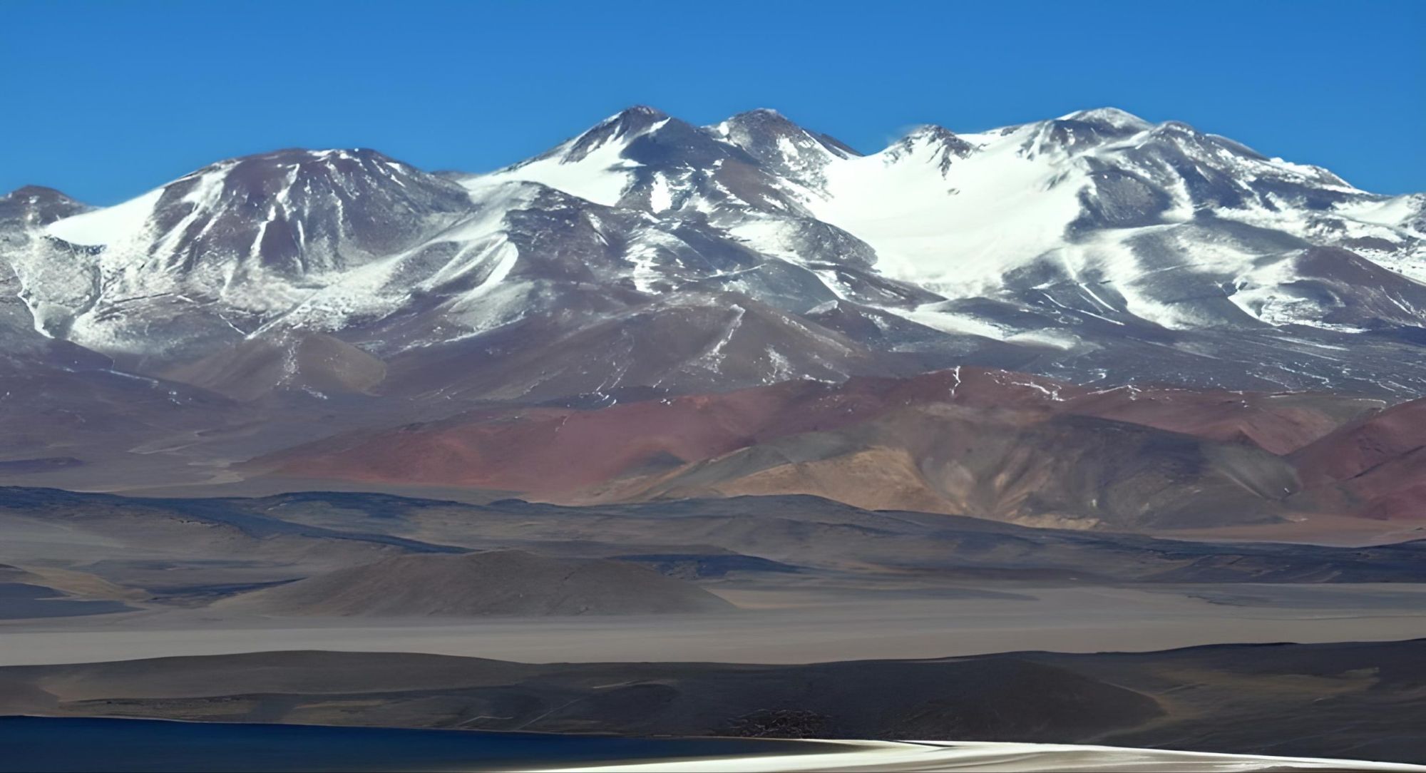
Location: Border of La Rioja and Catamarca provinces, Argentina, 25 km east of the Chilean border, about 550 km north of Aconcagua.
Elevation: 6,792 meters, confirmed by 2005 Austrian DGPS survey and 2007 expedition, previously claimed at 6,882 meters in 1994.
Type: Extinct stratovolcano, andesitic-dacitic volcanic centre, formed 6.6 to 6.2 million years ago, volcanism ceased about 2 million years ago.
First Ascent: 1937 by Stefan Osiecki and Jan Alfred Szczepański, part of the Second Polish Andean Expedition.
Notable Features: Located in the Atacama Desert, has an extensive glacier with crevasses, highest summit without a permanent glacier, and part of a complex with Cerro Bonete Chico and Incapillo, showing possible ongoing hydrothermal activity at Incapillo.
Tourism: Access improved by mining roads, often organized from Fiambalá, with high camp at 5,900 meters, base at 4,500 meters, best season December to March, night temperatures can drop to -30 °C.
1. Ojos del Salado
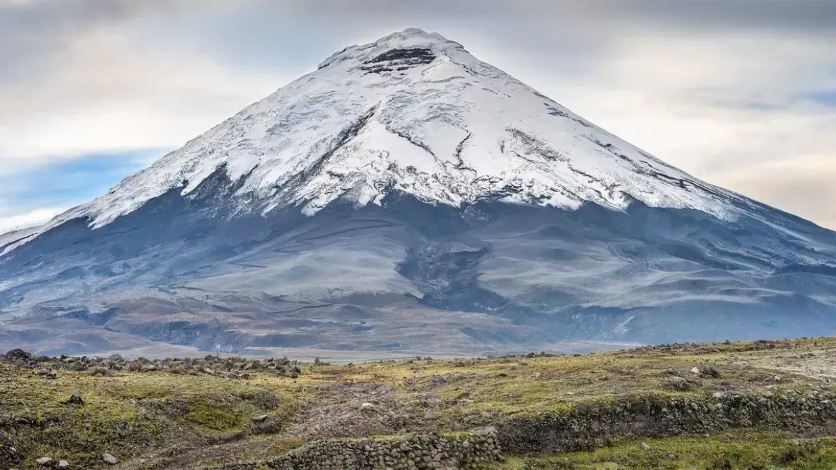
Location: Border between Argentina and Chile, Catamarca Province (Argentina), Copiapo Province (Chile, Atacama Region).
Elevation: 6,893 meters, also reported as 6,879 m or 6,887 m, highest volcano in the world.
Type: Dormant complex volcano, stratovolcano, part of the Central Volcanic Zone (CVZ), southern boundary, Puna de Atacama.
Last Eruption: Around 750 CE ± 250 years, making it historically active.
First Ascent: February 26, 1937, by Jan Alfred Szczepański and Justyn Wojsznis, Polish expedition.
Notable Features: Hosts the highest lake in the world at 6,480–6,500 meters, area 6,000 square meters, depth about 1 meter, and other lakes at 5,900 meters, each 2,500 square meters, with ephemeral lakes at 5,900–6,000 meters.
Climate and Ecology: Extreme arid conditions, precipitation 150 mm or 300–500 mm annually, peaks at 5,500 meters, snow cover less than 5 cm thick, desert with no vegetation above 4,900 meters, fauna includes guanacos, vicuñas, chinchillas, mice at 5,250 meters, earwigs at 5,960 meters.
Human History: Inca used nearby Paso San Francisco, no structures on the mountain, depicted on Chilean passports, surveyed for observatory, Mars analogue research, and vehicle record attempts, with several hundred climbers yearly, easier ascent from Argentine side, vehicle access to 6,650 meters or 5,900 meters.

