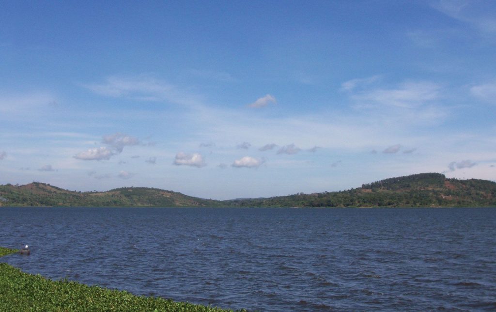
Each one of the top ten biggest lakes in the world is a breathtaking monument to the grandeur and intricacy of nature. Imagine the large, glittering Caspian Sea or the crystal depths of Lake Baikal; these great bodies of water are lifelines for ecosystems, businesses, and civilizations not only aesthetically pleasing. From the vast Great Lakes like Lake Superior to the energetic waters of Lake Victoria, these lakes tell tales of ancient geology, varied life, and human connection. They are dynamic environments molded by time, temperature, and the organisms who call them home, not merely dots on a map.
Examining the specifics of these lakes exposes what distinguishes every one of them consider surface area, depth, or the particular animals swimming under the surface. While Lake Michigan drives towns and promotes agriculture, Lake Tanganyika swarms in vibrant fish. Still, issues like pollution and climate change jeopardize their future, therefore their protection becomes quite important. Adventurers, environmentalists, and everyone else enthralled by the beauties of the world will find questions aroused by this investigation of the largest lakes. Prepare to learn why these famous lakes from the freshwater Lake Huron to the saltwater Caspian matter so much to ecosystems worldwide and beyond.
The Top Ten Largest Lakes In The World
10. Great Slave Lake
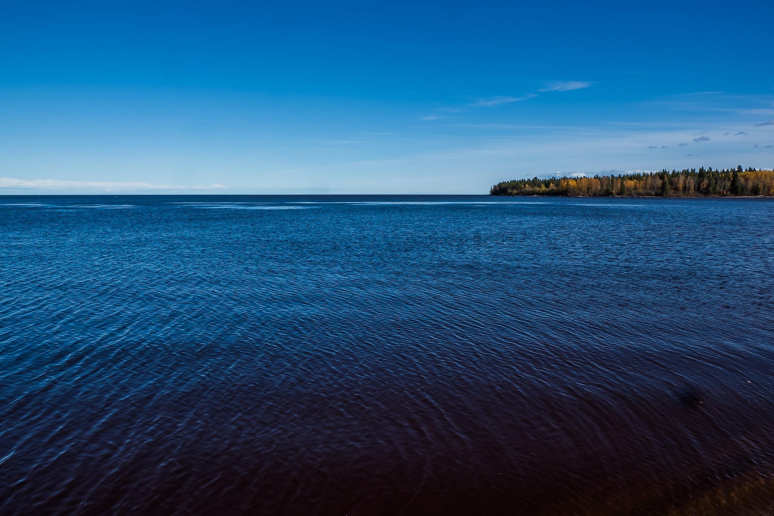
Location: Situated in the Northwest Territories, Canada, Great Slave Lake lies on the Arctic Circle.
Depth: It has an average depth of 41 m (135 ft) and a maximum depth of 614 m (2,014 ft), making it the deepest lake in North America.
Volume: Its volume ranges from 1,070 km³ (260 cu mi) to 2,088 km³ (501 cu mi), placing it among the top lakes by volume globally.
Ecological Significance: Rich in aquatic life due to high nutrient levels from the Slave River, it supports fish species like lake whitefish, lake trout, and northern pike. The absence of significant pollution and invasive species enhances its ecological health, though climate change is reducing ice coverage. It is part of the Mackenzie River drainage basin, drained by the Mackenzie River, with tributaries including Hay River and Slave River. Nearby, the Whooping Crane Summer Range in Wood Buffalo National Park is a nesting site discovered in 1954.
Notable Features: A glacial lake with an irregular shoreline, its East Arm features islands proposed for Thaidene Nene National Park Reserve. The Pethei Peninsula separates the East Arm into McLeod Bay and Christie Bay. The western shore is forested, while the east and northern arms are tundra-like, reaching the Canadian Shield at the southern and eastern shores. It is frozen from November to mid-June, with the Dettah ice road (6.5 km) connecting Yellowknife to Dettah, highlighting its importance for local infrastructure.
9. Lake Malawi

Location: Located between Malawi, Mozambique, and Tanzania, Lake Malawi is the southernmost lake in the East African Rift system, about 350 km southeast of Lake Tanganyika.
Depth: It has an average depth of 292 m (958 ft) and a maximum depth of 706 m (2,316 ft), with deeper northern and central depressions and shallower southern halves.
Volume: With a volume of 8,640 km³ (2,070 cu mi), it is the fourth-largest freshwater lake by volume.
Ecological Significance: Known for its incredible biodiversity, Lake Malawi hosts more fish species than any other lake, with at least 700 cichlid species, estimates reaching 1,000. It is a site of evolutionary radiations, especially among cichlids, and supports fisheries with species like chambo (Oreochromis spp.) and Lake Malawi sardine (Engraulicypris sardella). However, overfishing, water pollution, and declining water levels threaten its ecosystem. It is meromictic, with permanent water stratification, and its pH ranges from 7.7 to 8.6, with surface temperatures between 24–29 °C (75–84 °F). Visibility can reach 20 m (66 ft), though it varies with seasonal muddiness. It also supports 28 freshwater snail species (16 endemic), 9 bivalves (2 endemic), and few endemic crustaceans like Caridina malawensis, with famous Chaoborus edulis lake fly swarms providing protein-rich kungu cakes for locals.
Notable Features: The ninth-largest by area at 29,600 km² (11,400 sq mi), it is the third-largest and second-deepest in Africa. It stretches 560–580 km (350–360 mi) in length and 75 km (47 mi) in width, with islands like Likoma and Chizumulu. Primary inflow is the Ruhuhu River, and outflow is via the Shire River, with evaporation accounting for over 80% of water loss. Its ancient basin started forming around 8.6 million years ago, with current water chemistry resembling conditions from 60,000 years ago. Historical water levels varied from 600 m below to 10–20 m above current levels. The southern end is protected as Lake Malawi National Park, designated on April 26, 2011. Border disputes exist with Tanzania, with Malawi claiming the whole surface not in Mozambique.
8. Great Bear Lake
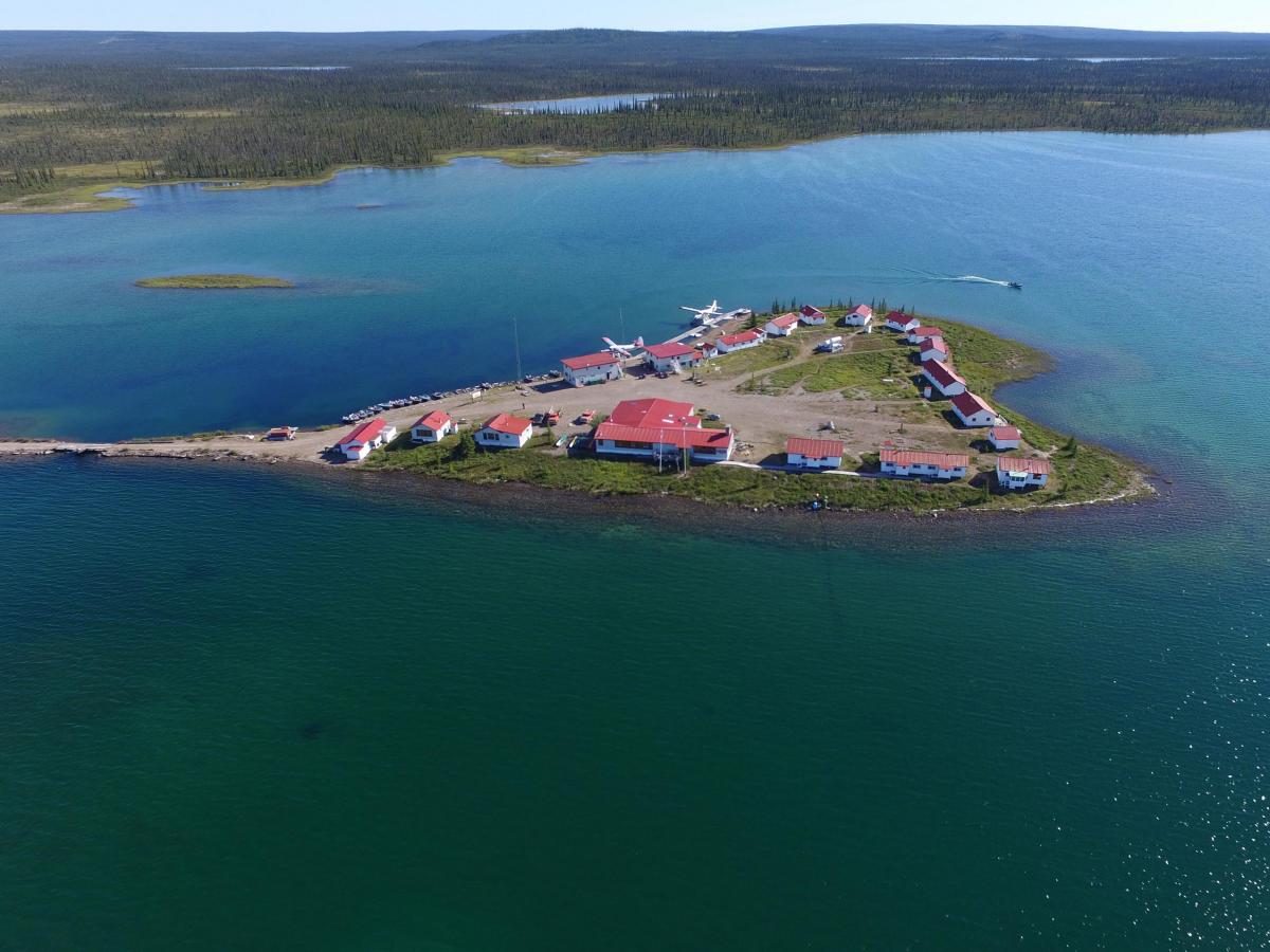
Location: Found in the Northwest Territories, Canada, on the Arctic Circle, between 65 and 67 degrees northern latitude and 118 and 123 degrees western longitude, at 156 m (512 ft) above sea level.
Depth: It has an average depth of 71.7 m (235 ft) and a maximum depth of 446 m (1,463 ft).
Volume: With a volume of 2,234 km³ (536 cu mi), it is significant for its freshwater storage.
Ecological Significance: Known for considerable clarity, with white rags visible to 15 fathoms (90 ft/27 m) depth as noted by John Franklin in 1828, it lies between the Kazan Uplands (Canadian Shield) and Interior Plains. It is critical for the Délı̨nę people’s identity, laws, and culture, driving self-governance and environmental sustainability, with prophecies by Dene Elder ɂehtsǝ́o Erǝ́ya suggesting it as a final refuge for life.
Notable Features: The largest lake entirely in Canada and the eighth-largest in the world, with a surface area of 31,153 km² (12,028 sq mi). Its catchment area is 114,717 km² (44,292 sq mi), and shoreline totals 2,719 km (1,690 mi) plus 824 km (512 mi) for islands. It has 26 main islands, totaling 759.3 km² (293.2 sq mi), and is frozen from November to July. Its arms include Smith Arm, Dease Arm, McTavish Arm, McVicar Arm, and Keith Arm, with tributaries like Whitefish River, Big Spruce River, Haldane River, Bloody River, Sloan River, Dease River, and Johnny Hoe River. Notable for the largest lake trout caught by angling at 32.65 kg (72.0 lb) in 1995, it has a history of mining at Port Radium for uranium, silver, and copper.
7. Lake Baikal
Location: Located in southern Siberia, Russia, between Irkutsk Oblast to the northwest and the Republic of Buryatia to the southeast.
Depth: It has an average depth of 744.4 m (2,442 ft) and a maximum depth of 1,642 m (5,387 ft), divided into three basins: North (about 900 m), Central (about 1,600 m), and South (about 1,400 m).
Volume: With 23,610 km³ (5,660 cu mi) of water, it contains 22–23% of the world’s fresh surface water, more than all North American Great Lakes combined.
Ecological Significance: As the oldest lake at 25–30 million years, Lake Baikal is a UNESCO World Heritage Site since 1996, with Criteria: Natural: vii, viii, ix, x. It is home to over 1,000 plant species and 2,500 animal species, with more than 80% endemic, including the Baikal seal (Pusa sibirica), omul (Coregonus migratorius), and various amphipods, ostracods, snails, bivalves, worms, and sponges. Its sediments, not scoured by ice sheets, are unique, and its oxygen-rich waters support diverse fauna even in deep sections.
Notable Features: The largest freshwater lake in Asia by surface area at 31,722 km² (12,248 sq mi), it is the seventh-largest lake globally and the second-largest in Eurasia after the Caspian Sea. It is the deepest continental rift on Earth, widening by 4 mm per year, and is seismically active with hot springs and earthquakes. It contains 27 islands, the largest being Olkhon (72 km long), and is fed by 330 inflowing rivers, drained by the Angara River. Its water clarity reaches 30–40 m in winter, rich in biodiversity with endemic species like golomyankas (Comephorus baicalensis, C. dybowskii).
6. Lake Tanganyika
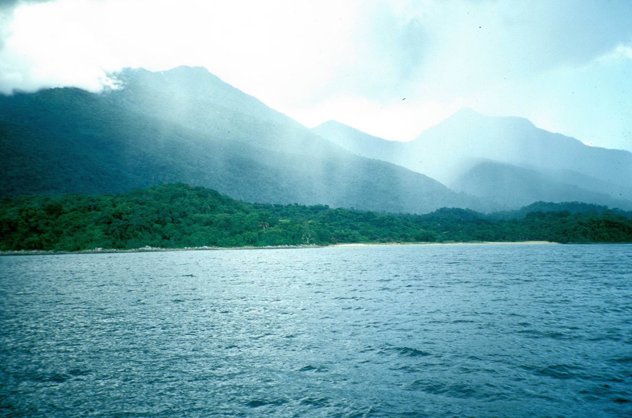
Location: Situated within the Albertine Rift, the western branch of the East African Rift, between Tanzania and the DRC. Shared among Tanzania (46%), DRC (40%), Burundi, and Zambia.
Depth: It has an average depth of 570 m (1,870 ft) and a maximum depth of 1,470 m (4,820 ft) in the northern basin, or 1,471 m (4,826 ft) as per another source, making it the deepest lake in Africa.
Volume: With 18,750 km³ (4,500 cu mi), it is the second-largest freshwater lake by volume globally, holding 16% of the world’s available fresh water.
Ecological Significance: An ancient lake over 1 million years old, with basins formed 9–12 Mya (central), 7–8 Mya (northern), and 2–4 Mya (southern), it is home to at least 250 endemic cichlid species, over 80 endemic non-cichlid fish, 65 endemic freshwater snail species, 8 endemic bivalve species, and over 100 endemic crustaceans. It is significant for studying speciation and evolution, especially cichlid adaptive radiation, and supports a major fishery providing 25–40% or ~60% of regional animal protein. Designated as a Ramsar site on February 2, 2007.
Notable Features: The longest freshwater lake at 673 km (418 mi) in length and 72 km (45 mi) in maximum width, with a surface area of 32,900 km² (12,700 sq mi) or 32,000 km² (12,000 sq mi). Its shoreline is 1,828 km (1,136 mi) or 1,900 km (1,200 mi), and catchment area is 231,000 km² (89,000 sq mi). Primary inflows include the Ruzizi River, Malagarasi River, and Kalambo River, with the primary outflow via the Lukuga River into the Congo River system. Its water is alkaline (pH ~9 at 0–100 m, decreasing to 8.3–8.5 at depth), stratified with anoxic depths below ~100–250 m, containing high hydrogen sulfide. Surface temperatures range from 24°C (75°F) in early August to 28–29°C (82–84°F) in March–April, stable at 23.1–23.4°C (73.6–74.1°F) below 400 m, with a residence time of 5500 years.
5. Lake Michigan
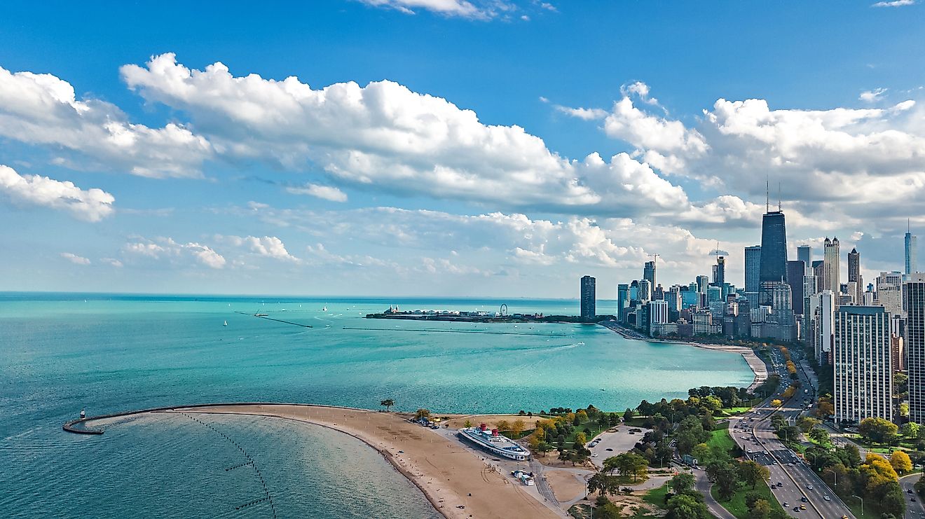
Location: Entirely within the United States, shared by Wisconsin, Illinois, Indiana, and Michigan.
Depth: It has an average depth of 85 m (279 ft) and a maximum depth of 281 m (923 ft).
Volume: With a volume of 4,930 km³ (1,183 cu mi), it is significant for freshwater storage.
Ecological Significance: Supplies drinking water to millions and is home to native species like lake whitefish, lake trout, and yellow perch, though invasive species like sea lampreys, round goby, zebra mussels, and quagga mussels have disrupted its ecosystem. Warming affects native habitats and species survival, particularly game fish.
Notable Features: The largest lake entirely within one country by surface area at 58,030 km² (22,404 sq mi), it is part of the Lake Michigan–Huron system, the largest freshwater lake by surface area. It includes Green Bay and Grand Traverse Bay, and features the world’s largest freshwater dune system on the east shore, with parks like Indiana Dunes National Park and Sleeping Bear Dunes National Lakeshore. The Milwaukee Reef divides it into northern and southern basins, with the deepest region being the Chippewa Basin.
4. Lake Huron

Location: In North America, shared by Ontario (Canada) and Michigan (U.S.).
Depth: It has an average depth of 59 m (195 ft) and a maximum depth of 229 m (750 ft).
Volume: With a volume of 3,521 km³ (844.8 cu mi), it is a significant freshwater reservoir.
Ecological Significance: Supports native deepwater fish like lake trout, ciscos, and sculpins, but has been impacted by invasive species such as sea lamprey, alewife, rainbow smelt, zebra mussels, quagga mussels, spiny water flea, and round gobies. Its lake retention time is 22 years, and recent changes include the collapse of the demersal fish community by 2006, reduced Chinook salmon catches, and less abundant lake whitefish, though walleye recovery in Saginaw Bay was noted by 2009. It contains algae like curly-leafed pondweed, spiked water-milfoil, water silk, and muskgrass, some of which are invasive.
Notable Features: The second-largest of the Great Lakes by surface area at 59,590 km² (23,007 sq mi), it includes Georgian Bay, North Channel, and Saginaw Bay. It has the largest lake island, Manitoulin Island, and is connected to Lake Michigan via the Straits of Mackinac (5 mi wide, 120 ft deep). Main inlet is the St. Marys River from Lake Superior, and outlet is the St. Clair River to Lake Erie. Its shoreline length, including islands, is 3,827 mi (6,159 km), with a drainage basin of 51,700 sq mi (134,000 km²). Surface elevation is 577 ft (176 m) above sea level, with historical high water at 5.92 ft above datum (1986) and low at 1.38 ft below datum (1964).
3. Lake Victoria
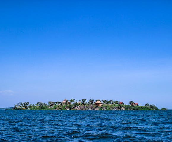
Location: Part of the African Great Lakes, divided among Tanzania (49%, 33,700 km²), Uganda (45%, 31,000 km²), and Kenya (6%, 4,100 km²). Basin countries include Burundi, Kenya, Rwanda, Tanzania, and Uganda.
Depth: It has an average depth of 40.4 m (133 ft) and a maximum depth of 81 m (266 ft), with the deepest part offset to the east near Kenya, shallower in the west (Uganda) and south (Tanzania).
Volume: With a volume of 2,424 km³ (582 cu mi), it is the ninth-largest continental lake by volume.
Ecological Significance: Home to many endemic species, especially cichlids (over 500 species, nearly all endemic, including ~300 undescribed), it supports Africa’s largest inland fishery as of 1997. However, invasive species like the Nile perch have driven many extinctions, and eutrophic conditions, linked to algal blooms and nutrient inflows, have altered oxygen levels.
Notable Features: The largest lake in Africa by area at 59,947 km² (23,146 sq mi), it is the world’s largest tropical lake and second-largest freshwater lake by surface area after Lake Superior. Its catchment area is 169,858 km² (65,583 sq mi), basin is 229,815 km² (88,732 sq mi), and shoreline is 7,142 km (4,438 mi), including 985 islands. Primary inflow is the Kagera River, and primary outflow is the White Nile near Jinja, Uganda. A bathymetric map was created in 2016, digitizing 10,000 points.
2. Lake Superior
Location: In central North America, the northernmost and westernmost of the Great Lakes, straddling the Canada–United States border with Ontario (Canada) to the north and east, Minnesota (U.S.) to the west, and Michigan and Wisconsin (U.S.) to the south.
Depth: It has an average depth of 147 m (483 ft) and a maximum depth of 406 m (1,333 ft), with the deepest point located roughly off its southeastern shore.
Volume: With 12,070 km³ (2,900 cu mi), it holds 10% of the world’s freshwater in rivers and lakes, enough to cover North and South America to a depth of 30 cm (12 in).
Ecological Significance: An oligotrophic lake with fewer dissolved nutrients relative to volume, it is less productive in fish populations, hosting over 80 fish species, including natives like lake trout, lake whitefish, and introduced species like sea lamprey and rainbow trout. Nitrate concentrations are rising, potentially linked to anthropogenic nitrogen cycle changes, and it is affected by overfishing and invasive species introductions.
Notable Features: The largest freshwater lake by surface area at 82,100 km² (31,700 sq mi), it is the third-largest by volume. Its surface elevation is 601.71 ft (183 m) (2013 average), with a shoreline of 1,729 mi (2,783 km) plus 997 mi (1,605 km) for islands, including Isle Royale, Apostle Islands, and Michipicoten Island. Deep trenches in the eastern part may originate from tunnel valleys, with a retention time of 191 years. Annual storms feature waves over 20 ft (6 m), with records over 30 ft (9 m).
1. Caspian Sea
Location: Between Europe and Asia, east of the Caucasus, west of the Central Asia steppe, south of Southern Russia, north of the Iranian Plateau. Bounded by Kazakhstan (northeast), Russia (northwest), Azerbaijan (southwest), Iran (south), and Turkmenistan (southeast), located in Eastern Europe, West Asia, and Central Asia.
Depth: It has an average depth of 211 m (690 ft) and a maximum depth of 1,025 m (3,360 ft) in the south, the third-lowest natural non-oceanic depression on Earth after Lake Baikal and Lake Tanganyika. Northern Caspian average depth is 5–6 m (16–20 ft), Middle Caspian 190 m (620 ft), and Southern Caspian depths exceed 1,000 m (3,300 ft).
Volume: With 78,200 km³ (18,800 cu mi), the Northern Caspian holds <1% of total volume, Middle Caspian 33%, and Southern Caspian 66%.
Ecological Significance: Home to a wide range of species, famous for caviar and oil industries, with endemic species including the Caspian seal (Pusa caspica), Caspian turtle (Mauremys caspica), and various fish (160 native species/subspecies, 62% endemic, 115 natives in lake proper, 73 endemics). It is threatened by pollution from the oil industry, dams, overfishing (e.g., sturgeon for caviar), and predicted depth decrease of 9–18 m (30–60 ft) this century due to global warming and desertification, leading to ecocide.
Notable Features: The largest lake in the world by surface area at 371,000 km² (143,000 sq mi), it is larger than Germany and debated as a sea due to its salinity (1.2%) and geological history as a remnant of the Paratethys Sea. It is an endorheic basin, fed by rivers like the Volga (80% of inflow), Ural, Terek, and Kura, with no natural outflow, losing water through evaporation. Its surface lies 28 m (92 ft) below sea level, with a shoreline of 7,000 km (4,300 mi). It features three basins (Northern, Middle, Southern) and numerous islands, like the Apsheron Peninsula.

